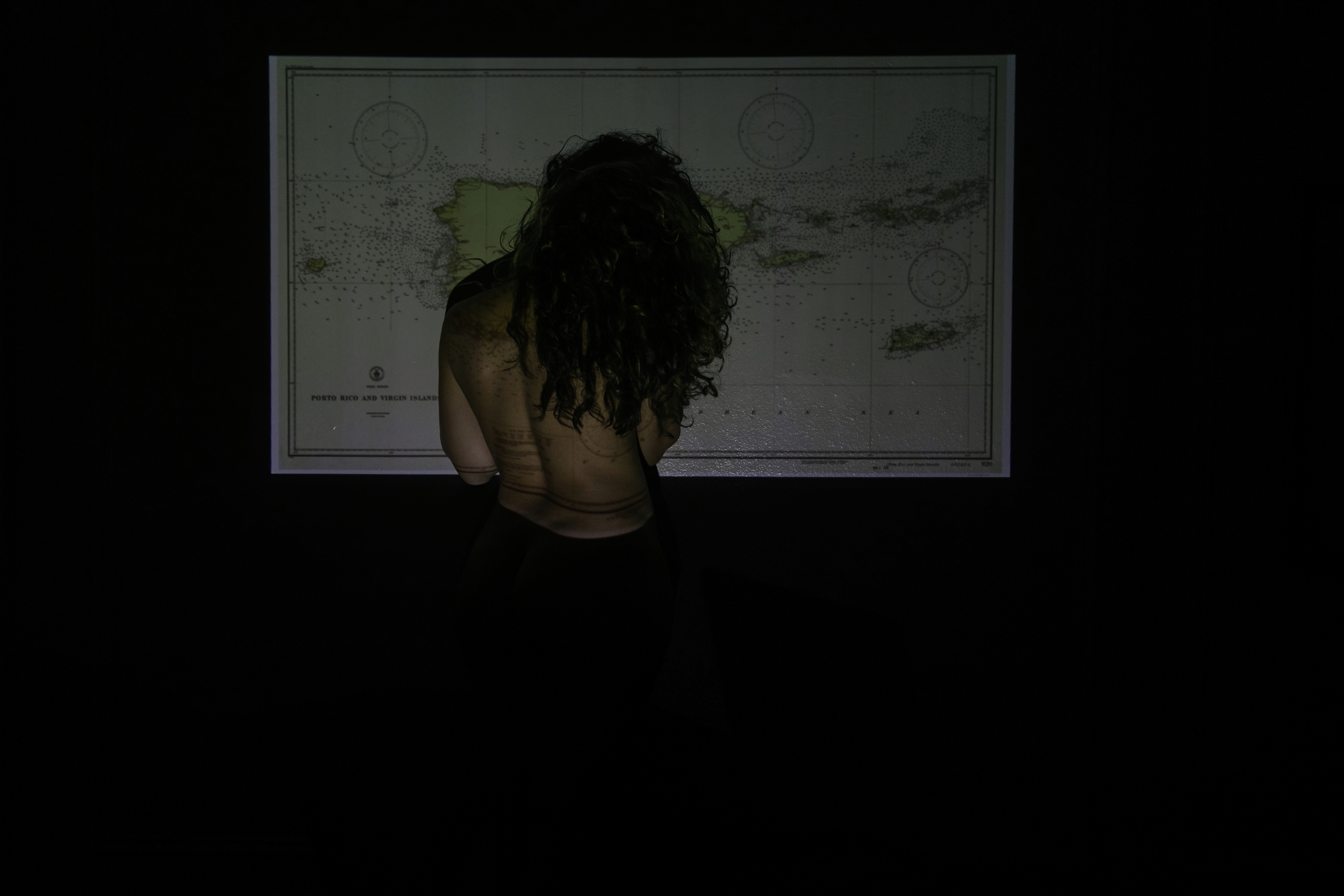
A geographic coordinate system is a way to establish land “discovered”/land “conquered”/land “in danger”/land “destroyed”
A geographic coordinate system is an impossibly plain three-dimensional reference system that dislocates points on my heart’s surface, stretching them apart to the point of rupture.
My last time was September 21, 1998.
A geographic coordinate system is an impossibly plain three-dimensional reference system that dislocates points on my heart’s surface, stretching them apart to the point of rupture.
My last time was September 21, 1998.
I am thirteen years old, listening to the news on the radio announcing the latest geographical coordinates for Hurricane Georges, a monster cyclone heading our way.
Latitudes and longitudes; precise information to those who have the understanding of an explorer or the avarice of an empire.
In a foreseen catastrophe, these numbers are feared and capricious.
In a claimed territory, these numbers are fixed and punishing.
September 19, 2017 is different.
Latitudes and longitudes; precise information to those who have the understanding of an explorer or the avarice of an empire.
In a foreseen catastrophe, these numbers are feared and capricious.
In a claimed territory, these numbers are fixed and punishing.
September 19, 2017 is different.
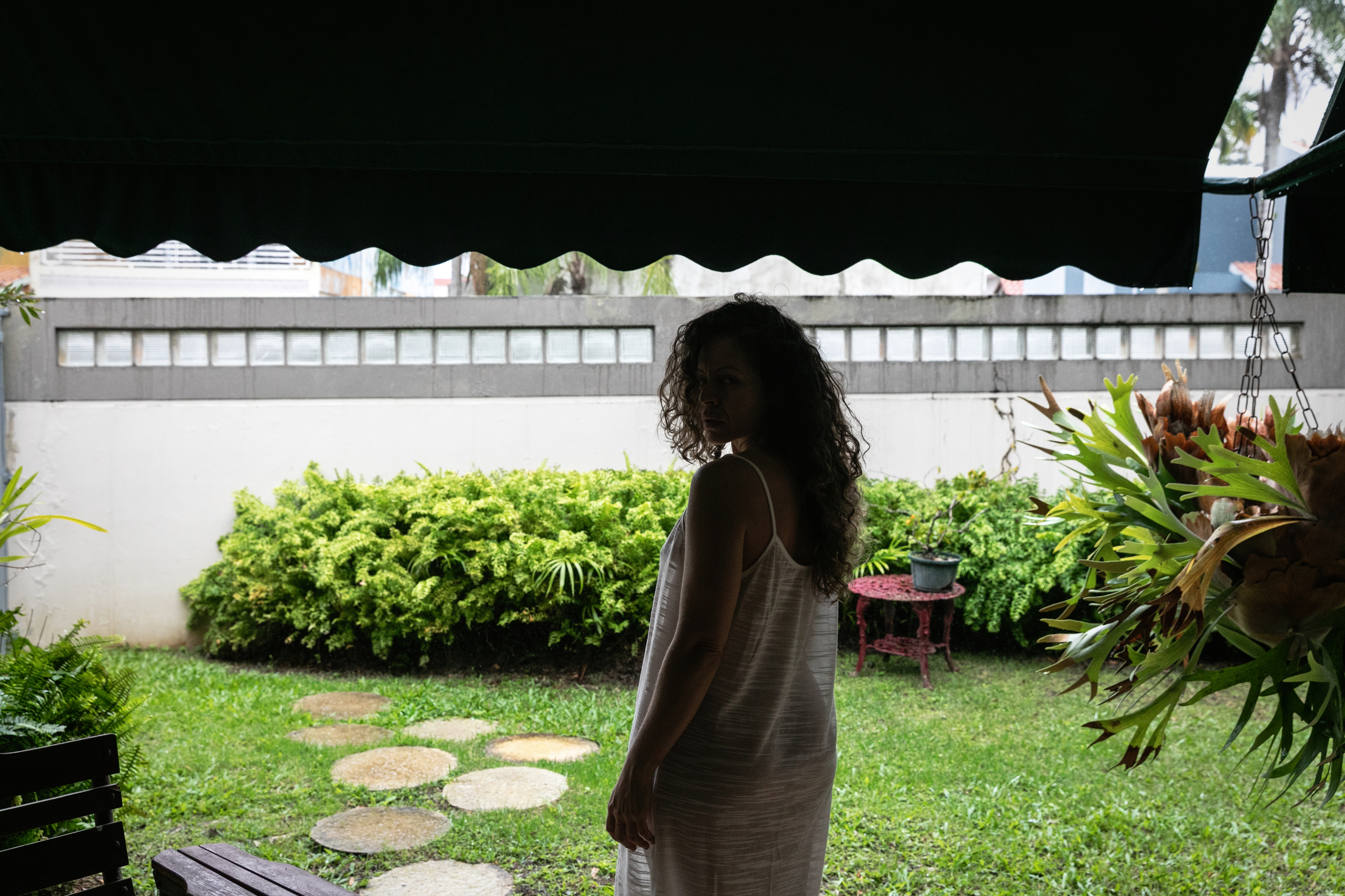
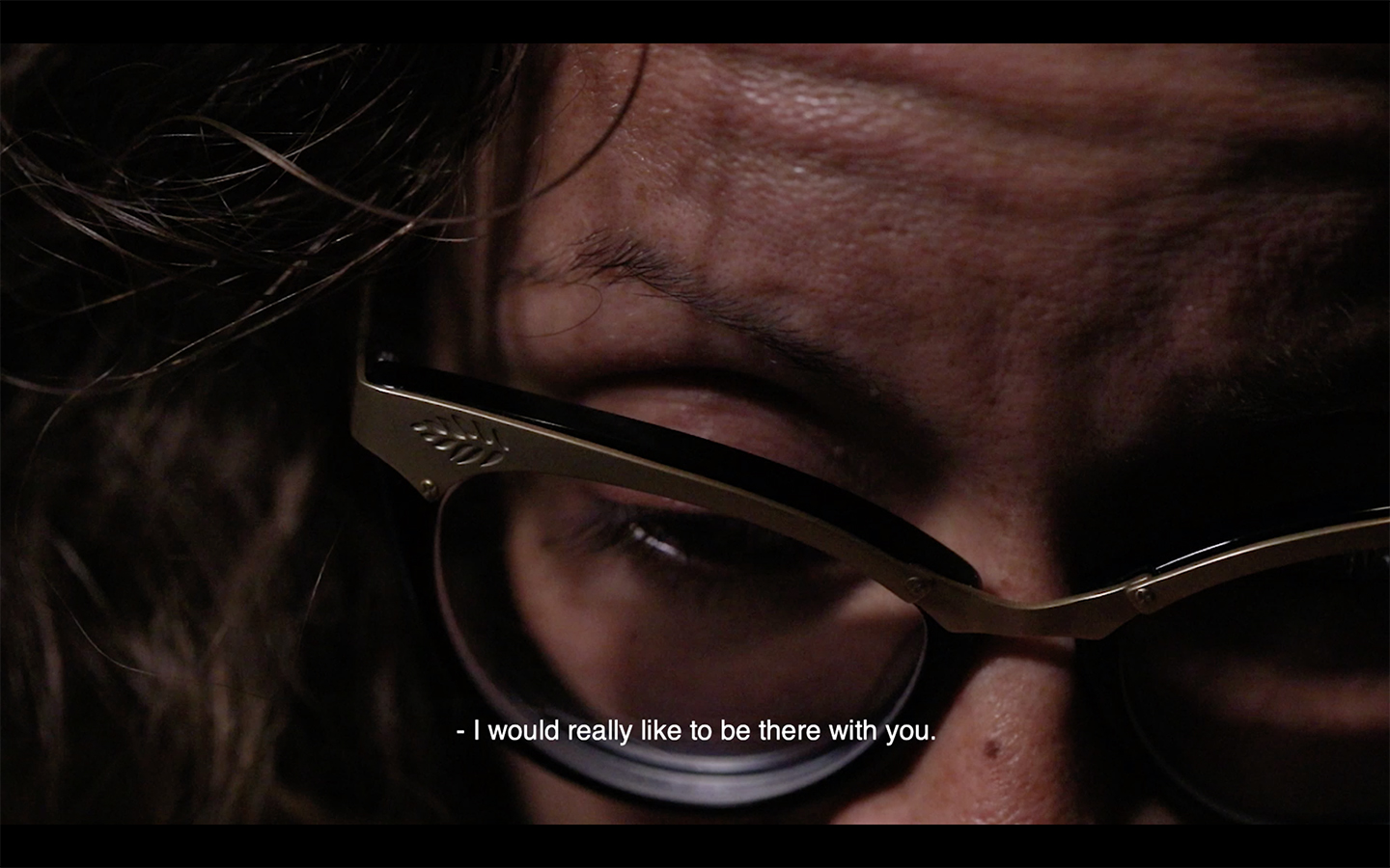
I sit in my apartment in New York City, far away from the imminent danger my family awaits. Harboring a desolate sentiment of helplessness, eyes-wide on the weather reports: a native spectator to a known disaster. My soft bed gently presses under my body, the unbearable feeling of comfort.
CUE SFX: Distanced sounds of car horns and people on the streets of Brooklyn.
To live in migration: an endless lamento borincano sprinkled with a million ay benditos and forever asking la bendición.
CUE SFX: Distanced sounds of car horns and people on the streets of Brooklyn.
To live in migration: an endless lamento borincano sprinkled with a million ay benditos and forever asking la bendición.
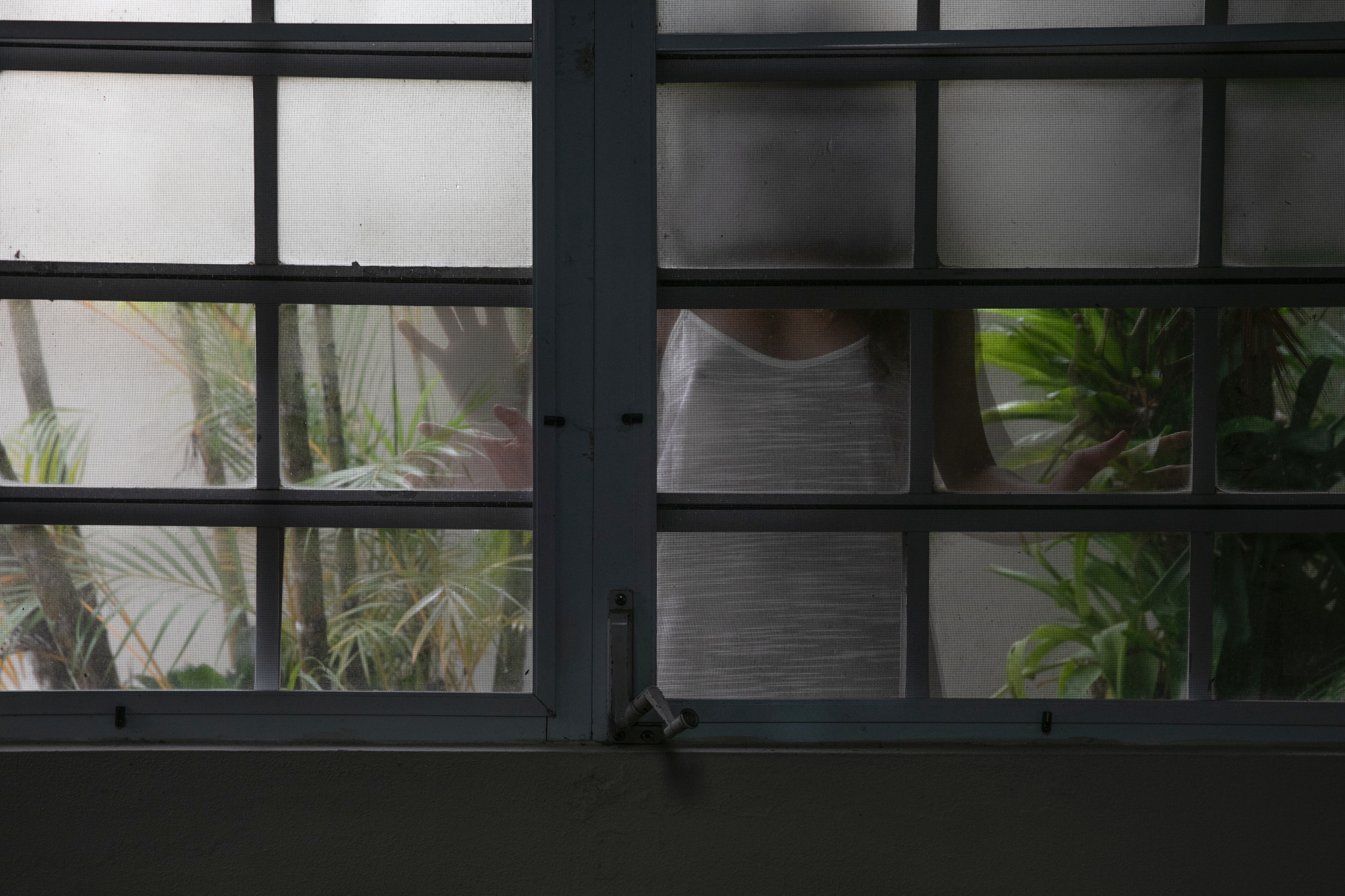
In the absence of presence, I lay in bed and close my eyes.
Breathing in stillness, I conjure the sounds my family would hear first as Hurricane María approaches them.
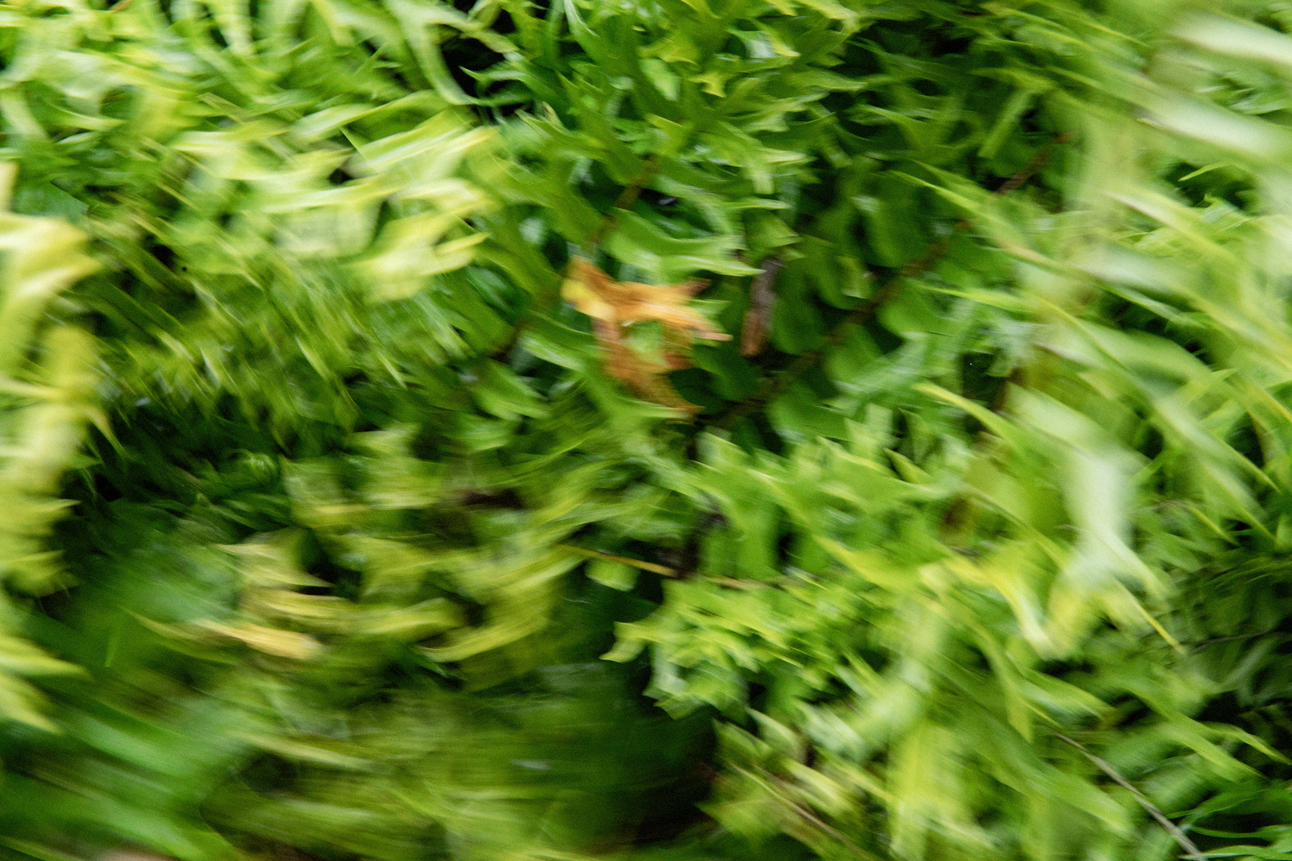
Bursts of wind and copious rain striking the ferns in our backyard.
Slapping sounds that promise a wreck, pounding at the storm shutters over the windows.
(Will they hollow and fly away?)
My fingers expand and close into a fist
a roll of my wrist,
Cógelo suave, María.
Puerto Rico, point 18.2208° N, 66.5901° W
that grew me; the birthplace I left 10 years ago for
New York City, point 40.7128° N, 74.0060° W and “better opportunities”.
Bendición.
Breathing in stillness, I conjure the sounds my family would hear first as Hurricane María approaches them.
Bursts of wind and copious rain striking the ferns in our backyard.
Slapping sounds that promise a wreck, pounding at the storm shutters over the windows.
(Will they hollow and fly away?)
My fingers expand and close into a fist
a roll of my wrist,
Cógelo suave, María.
Puerto Rico, point 18.2208° N, 66.5901° W
that grew me; the birthplace I left 10 years ago for
New York City, point 40.7128° N, 74.0060° W and “better opportunities”.
Bendición.